Harrison Hills ATV Trail
Features
-
Trail Length (miles)
- 51
-
Trails
- Yes
Harrison Hills ATV Trail


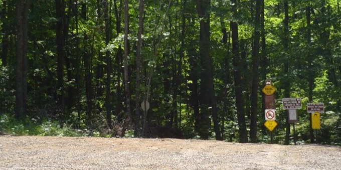
This 47.8 mile long trail system is a two-way trail primarily utilizing existing logging roads that traverse the area of the Lincoln County Forest known as the Harrison Hills. The heavily forested, hilly terrain is dotted with many lakes and bogs that can be seen along the trail. Due to the hilly topography in this area, the trail has many sharp curves and steep segments. These terrain features not only make the Harrison Hills Trail scenic but result in a trail that may be challenging for some riders and certainly not a high speed trail. The summer ATV trail system opens May 1st (trail condition dependent) and the majority of the system closes December 1st of each year. Most of the ATV trail system is also open to road licensed vehicles, mountain bikers, hikers, and other recreationist.
The summer ATV trail segments north of CTH D intersecting with Theis Rd. and Bowman Rd. are gated and not open to highway licensed vehicles. Immediately north of CTH D, the ATV trail crosses private property for approximately ½ mile. Near the community of Harrison, there are two trail segments that also cross private land. These trail segments crossing private land are ONLY open to ATV/UTV use and are closed to ATVs earlier than Dec 1.
Three parking areas provide direct access to the trail system: 3/4 mile north of CTH J on Turtle Lake Road, 1-1/4 miles northwest of STH 17 on CTH B, and 1-1/2 miles south of Harrison on CTH B. The trail system is also connected to Langlade County and Oneida County ATV trail systems.