Brule River State Forest
Features
-
 On Water
 Pets Welcome/Inquire
-
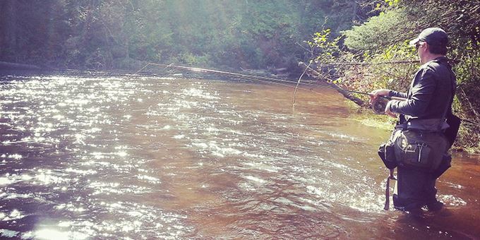
Fish Type
- Brook Trout
- Brown Trout
- Rainbow Trout
-
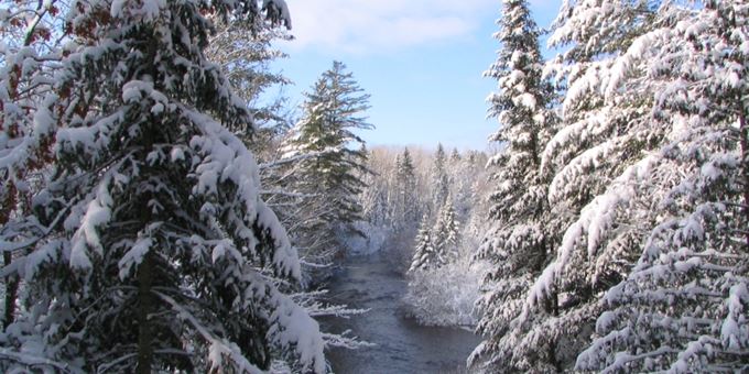
Cross-Country Skiing/Snowshoeing Trail Type
- Groomed
- Tracked
- Flat
- Hilly
- Wooded
-
Campground Type
- Backpack
- Tent
-
Natural Attractions Type
- Parks, Forests, Trails
-
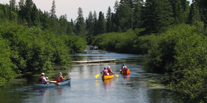
Adventure Sports Activities
- Kayaking
-
Fishing style
- Fly Fishing
- Guides and Charters
-
Number of Campsites
- 35
-
Trail Length (miles)
- 26
-
State and National Trails
- Yes
-
Trails
- Yes
-
Canoe
- Yes
-
Kayak
- Yes
-
Toilets
- Yes
-
Ski Skating
- Yes
-
Publicly Owned
- Yes
-
Shelter
- Yes
-
Snowshoeing
- Yes
Brule River State Forest


Show off your selfie skills! Find a selfie stand located at the Forest and Ranger Station office and stop for a fun photo. Share yours with us on Instagram using #ScenicWisconsin.
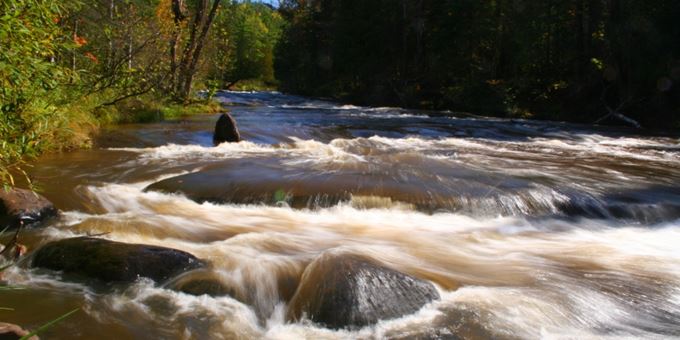
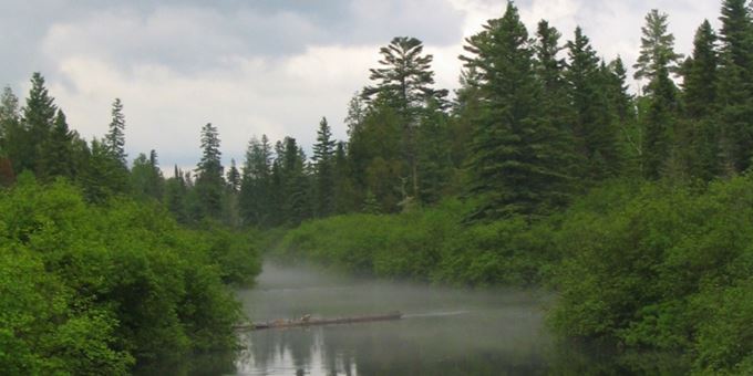
The Brule River State Forest contains all 44 miles of the famous Bois Brule River, one of the best known rivers east of the Mississippi. For over one hundred years, it has been known as an exceptional trout stream. The Brule River contains resident brook, brown and rainbow trout. Lake brown and rainbow (steelhead) trout along with Coho and Chinook salmon migrate up the Brule annually from Lake Superior. The river itself has two distinct personalities. The upper river (the southern portion) flows through miles of coniferous bog and is fed by numerous springs. When the river crosses the Copper Range, it begins a fall of 328 feet in the eighteen miles to Lake Superior. Here, flashing cascades tumble over rocks and ledges and between steep river bluffs forested with aspen and balsam fir. Pets are welcome in Wisconsin State Parks but must be on a leash and under control at all times. Certain areas may be off limits to pets. Visit our website for more details.
What's Nearby
You May Also Like