Timm's Hill County Park
Photo Credit: Glenn Sanderson


Features
- Free Admission
- Yes
-
 On Water
 Pets Welcome/Inquire
-
Natural Attractions Type
- Parks, Forests, Trails
- Scenic Vistas
-
Tour Type
- Scenic Drives
-
Fish Type
- Lake Trout
- Largemouth Bass
- Northern Pike
- Panfish
-
Cross-Country Skiing/Snowshoeing Trail Type
- Groomed
- Tracked
- Flat
- Hilly
- Wooded
-
Surface Type
- Asphalt
- Crushed Rock
-
Difficulty
- Medium
- Hard
-
Fishing style
- Ice Fishing
- Guides and Charters
-
Trail Length (miles)
- 2.5 to 10
-
Ski Skating
- Yes
-
Shelter
- Yes
-
Snowshoeing
- Yes
-
Toilets
- Yes
-
Trails
- Yes
Timm's Hill County Park
Information:
715-339-6371
7:30am- 9:30pm approximately May through October.


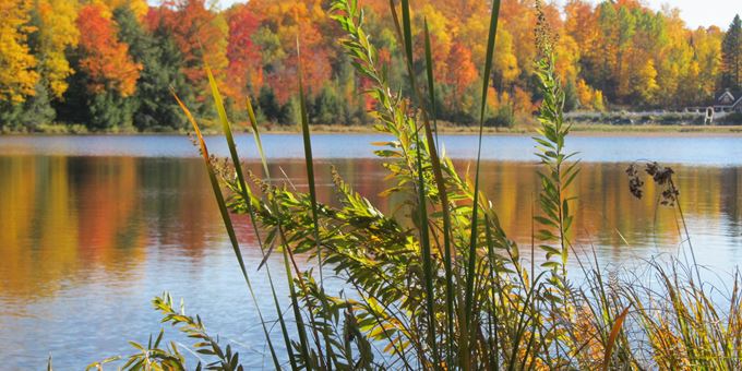
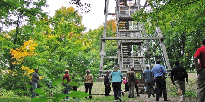
Rising 1,951 feet above sea level, Timm's Hill stands as the highest point in Wisconsin. At this picturesque park, you can ascend the observation tower for breathtaking 30-mile views of the expansive Northwoods and surrounding Bass Lake, nestled 160 feet below.
The park is equipped with many amenities for a great outdoor experience. Enjoy the boat landing and fishing pier, or relax at the picnic tables and grills. The playground is perfect for family fun.
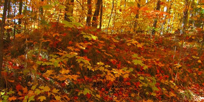
Explore the diverse trails year-round, which are open to activities including mountain biking, hiking, hunting, horseback riding, snowshoeing, cross-country skiing, and skijoring. Each season brings new opportunities for adventure and exploration in this stunning natural setting.
What's Nearby
Events
Places To Stay
Dining
1
Wild Game Feed and Sportsmen's Expo
2/28/2026
Ogema - 4.95 miles away
2
Rib Lake Ice Age Days
8/07/2026 - 8/09/2026
Rib Lake - 9.11 miles away
3
Elk River Pioneers Poker Run & Picnic
2/21/2026
Phillips - 20.78 miles away
4
MACC Pine Line Marathon
4/18/2026
Medford - 22.78 miles away
5
Grass On The Black
7/10/2026 - 7/12/2026
Medford - 22.82 miles away
6
Chamber Ambassador Golf Outing
6/12/2026
Medford - 22.97 miles away
7
Chamber Ambassador Golf Outing
6/12/2026
Medford - 23.49 miles away
8
Elk River Pioneers Poker Run & Picnic
2/21/2026
Phillips - 24.18 miles away
You May Also Like